DISTRICT DASHBOARD YAVATMAL
Comprehensive Overview of Geography, Administration, Population, Literacy, and Tribal Development
District Geography
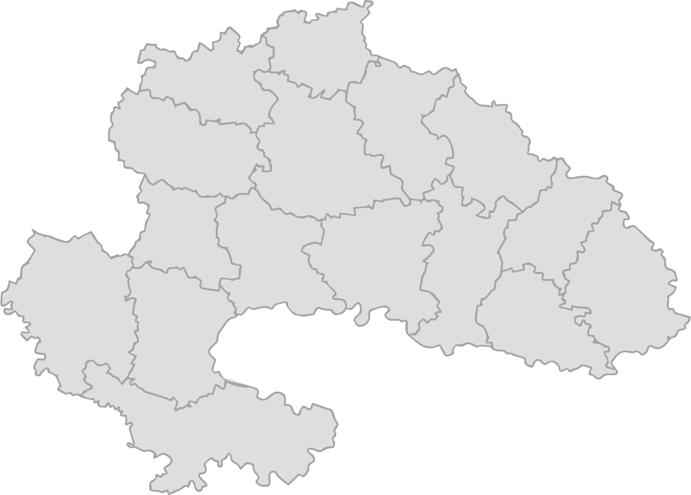
Total Area
13,582 Sq. Km
Forest Area
2,24,456 Ha
Cultivated Land
10,05,265 Ha
Non-Agriculture Land
77,309 Ha
North Latitude
19.26° – 20.42°
East Longitude
77.18° – 79.98°
Temperature
19.26° – 20.42°
Annual Avg. Rainfall